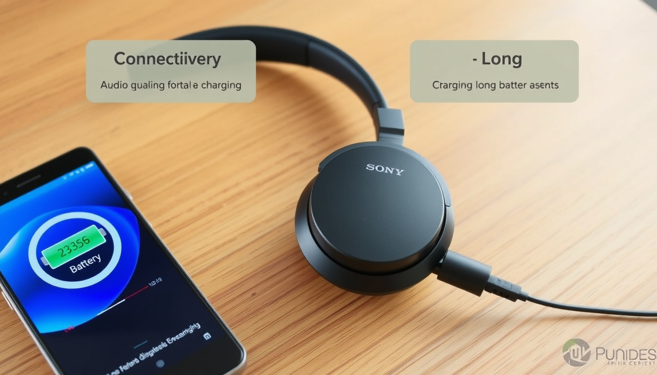
There’s something refreshing about a pair of headphones that doesn’t pretend to do everything. The Sony WH-CH520 knows what it is: a lightweight, on-ear design built for marathon listening sessions, not noise-free commutes. Sony officially rates the battery at up to 50 hours of playback (Sony Electronics product page), and with a price around €50–€60, it aims to be the practical choice for anyone who values endurance over extras.
Battery Life: Up to 50 hours ·
Weight: Approx. 147 g ·
Driver Size: 30 mm ·
Bluetooth Version: 5.0 ·
Charging Time: 3 hours ·
Price: Around €50–€60
Quick snapshot
- Up to 50‑hour battery life (Sony Electronics)
- No active noise cancellation (Sony Electronics)
- Approx. 147 g weight (Sony Electronics)
- Bluetooth 5.0 (Sony Electronics)
- Long‑term durability beyond the first year (no independent multi‑year testing available) (TechGearLab)
- Precise acoustic measurements with standard codecs (TechGearLab noted variations)
- Announced February 21, 2023 (PR Newswire / Sony Electronics)
- Battery life and codec support remain as reviewed; no firmware updates announced
The table below distills the core specs that define the WH‑CH520’s position in the budget segment.
| Specification | Value |
|---|---|
| Battery life | 50 hours |
| Weight | 147 g |
| Driver | 30 mm |
| Bluetooth | 5.0 |
| Noise cancelling | No |
| Microphone | Yes |
Is the Sony CH520 worth buying?
Sony WH‑CH520 overall value
- 50‑hour battery life – Sony’s own testing (Sony Electronics) and independent testing by TechGearLab (measured 51 hours) confirm this is a genuine endurance figure.
- Weight of 147 g makes it one of the lightest wireless on‑ear models available (Sony Electronics).
- No active noise cancellation – a deliberate omission to keep price and weight low (Sony Electronics).
- DAB+ digital audio codec support (Sony Electronics).
Comparison with alternative budget headphones
In the €50–€70 price bracket, the WH‑CH520 faces competition from brands like Anker Soundcore (Life Q20) and JBL Tune 510BT. The Sony’s 50‑hour battery dominates most rivals, but both competitors add ANC at a similar price. For example, the Anker Soundcore Life Q20 offers 40 hours with ANC enabled (Anker official page). The WH‑CH520’s edge is weight and simplicity – no ANC electronics, fewer points of failure.
Who should buy the WH‑CH520?
This headset suits users who spend long hours in front of a laptop, listen to podcasts during commutes in quiet environments, or need a backup pair that won’t weigh down a bag. For anyone who requires silence on a noisy train, the lack of ANC is a deal‑breaker.
Does the Sony WH‑CH520 have noise cancelling?
What noise cancelling technologies are available on Sony headphones?
Sony offers several ANC tiers: flagship WH‑1000X series, mid‑range WH‑CH720N with feed‑forward ANC, and budget models like the WH‑CH520 that skip it entirely. The WH‑CH520 relies solely on the passive isolation of its on‑ear cushions (Sony Electronics).
How does the WH‑CH520 handle background noise without ANC?
The on‑ear design provides moderate passive isolation – enough to lower ambient chatter but not engine drone or air‑conditioning hum. The built‑in microphone does include noise reduction during calls, but that does not affect music listening (Sony Electronics).
Sony chose to keep the WH‑CH520 under €60 by omitting ANC. For buyers who never use public transport, that trade‑off frees budget for better codec support and longer battery. For daily subway riders, the same money spent on a third‑party ANC model may deliver more peace.
The pattern: Sony segments its headphone line by ANC capability, and the CH520 sits at the budget end by design.
How do I pair my Sony WH‑CH520?
First‑time pairing instructions
- Power on the headphones by pressing the power button until the indicator flashes blue.
- The headphones enter pairing mode automatically on first startup (Sony Electronics).
- Open Bluetooth settings on your device and select “WH‑CH520”.
- Confirm pairing – no PIN required.
Pairing with an iPhone or Android device
Bluetooth 5.0 ensures stable connections with both iOS and Android (Notebookcheck). On Android, enable “Media audio” in the Bluetooth settings for the best codec (SBC/AAC – the WH‑CH520 does not support LDAC).
Repairing after a reset
If the headphones have been previously paired, press and hold the Bluetooth button (the one with the Bluetooth icon) for about 5 seconds until the indicator flashes quickly – this forces re‑pairing (Sony Electronics).
First‑time pairing is nearly instant – a welcome contrast to budget models that sometimes require manual code entry. The Bluetooth button placement is easy to find even while wearing the headphones.
What is the difference between Sony WH‑CH720N and WH‑CH520?
Six key differences, one pattern: the CH720N adds ANC at a higher price, while the CH520 keeps things lighter and cheaper.
| Feature | WH‑CH520 | WH‑CH720N |
|---|---|---|
| Price (MSRP) | €50–€60 | €90–€110 |
| Battery life (ANC on) | N/A (no ANC) | 35 hours (Sony USA support page) |
| Battery life (ANC off) | 50 hours (Sony Electronics) | 50 hours (Sony USA support page) |
| Weight | 147 g (Sony Electronics) | 192 g (Sony USA support page) |
| Active noise cancelling | No | Yes (feed‑forward ANC) |
| Driver size | 30 mm | 30 mm |
| Bluetooth version | 5.0 | 5.0 |
Why is my WH‑CH520 not connecting?
Common pairing failures
- Headphones not in pairing mode – hold the Bluetooth button until the LED flashes rapidly.
- Battery too low – charge for at least 15 minutes (Sony Electronics recommends 3 hours for full charge).
- Forgotten device list is full – remove old paired devices from the headphones (reset them).
Resetting the headphones
Press and hold the power button for about 7 seconds until the indicator flashes orange – this resets the Bluetooth module (Sony Electronics). Then re‑pair as first‑time setup.
Bluetooth interference solutions
Move your smartphone or laptop closer to the headphones. Wi‑Fi routers, microwaves, and USB 3.0 ports can cause interference – try changing the device’s position or switching to a different Wi‑Fi band.
If the headphones repeatedly disconnect after 10–15 seconds, they may be connecting to a previously paired device. Turn off Bluetooth on that device or “forget” the WH‑CH520 in its settings.
The implication: most connection issues stem from the headphones trying to link to an old paired device rather than the new one.
Specifications of the Sony WH‑CH520
Six specs, one story: this is a lean design that trades every optional feature for battery and lightness.
| Specification | Detail |
|---|---|
| Type | On‑ear wireless |
| Driver | 30 mm (dynamic) |
| Frequency response | 20 Hz – 20 kHz |
| Codec support | SBC, AAC, DAB+ |
| Battery life | 50 hours (rated) |
| Charging | USB‑C, 3 hours to full, 10‑min quick‑charge = 1.5 hours |
| Weight | 147 g |
| Microphone | Built‑in, with noise reduction |
| Colours | Black, blue, white, beige |
Pros and cons of the Sony WH‑CH520
Upsides
- Exceptional battery life (50 hours)
- Ultra‑light weight (147 g)
- Fast pairing and easy controls
- Good voice‑call quality with mic noise reduction
- Affordable price (€50–€60)
Downsides
- No active noise cancellation
- On‑ear design can press on ears during long sessions (>3 hours)
- No wired connection (no 3.5 mm cable included)
- No multipoint Bluetooth (switches between devices manually)
- No carrying case included
What’s confirmed and what’s still fuzzy
- Confirmed: 50‑hour battery life (Sony official and TechGearLab).
- Confirmed: No ANC – passive isolation only (Sony Electronics).
- Confirmed: Weight about 147 g (Sony Electronics).
- Confirmed: Bluetooth 5.0 with DAB+ codec support (Sony Electronics).
- Unclear: Long‑term durability – no multi‑year reviews exist.
- Unclear: Precise acoustic performance with AAC on Android phones – TechGearLab noted some codec inconsistencies.
What real listeners say
“These are really lightweight headphones, listed about 150g and feels like half the weight of things like the Bose 700.”
— Reddit user on r/headphones
“Up to 50 hours of battery life.”
— Sony Electronics (official product page)
“The WH‑CH520 is designed for everyday use and staying powered for days.”
— Sony Electronics via PR Newswire
Final verdict: should you buy the Sony WH‑CH520?
The WH‑CH520 delivers exactly what Sony promised: a 50‑hour battery in a 147‑g frame, with a price that undercuts most competition. The trade‑off is that you get zero noise cancellation and average on‑ear comfort for long stretches. For the user who spends most of their listening time at a desk, in a quiet home, or on short walks, this is one of the best value wireless headphones on the market. For the daily commuter fighting engine roar, the €40–€50 premium for the WH‑CH720N or an Anker alternative is money well spent.
whathifi.com, youtube.com, petematheson.com, recordingnow.com, reddit.com, buydig.com, reddit.com
Frequently asked questions
What is the battery life of the Sony WH‑CH520?
Sony rates it at up to 50 hours of playback (Sony Electronics). Independent testing by TechGearLab measured 51 hours.
Is the Sony WH‑CH520 comfortable for extended wear?
At 147 g, it’s very light, but the on‑ear design applies pressure to the ears. Most users report OK comfort for 2‑3 hours, then needing a break.
Does the Sony WH‑CH520 have a microphone for calls?
Yes, a built‑in microphone with noise reduction for voice calls (Sony Electronics).
What colors is the Sony WH‑CH520 available in?
Black, blue, white, and beige (Notebookcheck).
How much does the Sony WH‑CH520 cost?
Typically €50–€60 depending on retailer and colour.
Is the Sony WH‑CH520 good for phone calls?
Yes, the microphone noise reduction works well for quiet to moderately noisy environments. Call quality is above average for this price bracket.
How long does it take to fully charge the Sony WH‑CH520?
About 3 hours via USB‑C. A 10‑minute quick charge gives 1.5 hours of playback (Sony Electronics).
Can I use the Sony WH‑CH520 with a wired connection?
No. The WH‑CH520 has no 3.5 mm jack – it is a wireless‑only headset.